
Welcome to the inaugural DRRN member highlight! Every few weeks we will spotlight a member of the DRRN, starting with those who are part of the newly-launched Academic Advisory Panel. This week, meet David Edgington!
David Edgington
Professor Emeritus
UBC Department of Geography
Expertise: Research on Disaster Management and Governance in Pacific Rim Countries
1. Could you introduce yourself and tell us about your current research?
My name is David Edgington, and I’m an emeritus professor of human geography at the University of British Columbia. My current research focuses on disaster management from a social science perspective. I’m particularly interested in how disaster management systems preparedness, response, recovery and mitigation are organized in different parts of the world. For us here in British Columbia, I’m curious about the lessons we can learn from other regions that have experienced major disasters, such as magnitude 9 earthquakes and tsunamis that devastate coastal communities.
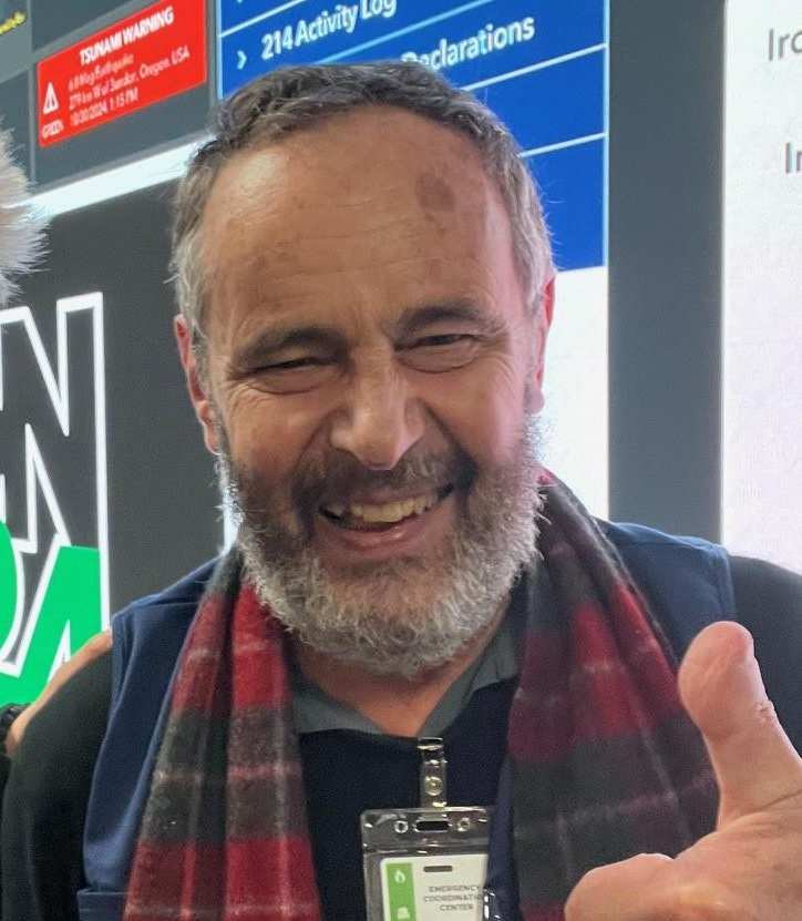
I’ve studied how societies in Japan, Chile, and the Pacific North West of the USA (Washington, Oregon and northern California) respond to such events, looking at the roles of local governments in impacted areas along the coast, as well as the role of national and regional governments based in the capitals. Recently (Oct 2024), I conducted field research in Oregon. I was invited to observe a 3-day `IronOr24' simulation exercise held in Salem, Oregon, by the Oregon Emergency Management Agency. The simulation exercise was based around preparations for a hypothetical off-shore M9 earthquake and tsunami disaster event. My goal is to provide recommendations to provincial leaders and bureaucrats here in BC, helping them develop informed strategies for disaster preparedness, response, and recovery based on global and regional examples.
2. What motivated you to become a part of the DRRN community?
I’ve been teaching seminars on Japan’s geography for years, and my academic background is in economic geography, focusing on the location of industries and international trade. Over three decades, I’ve taken many field trips to Japan, and you can’t spend that much time there without noticing how seriously they take disaster preparation—whether for rainstorms, typhoons, volcanoes, or earthquakes.
Japan’s military, for example, doesn’t engage in overseas conflicts due to constitutional limits. Instead, they focus on disaster preparedness and regularly train with local governments and emergency responders. Their coordinated response to the 2011 magnitude 9 earthquake really impressed me. These experiences sparked my interest in Japan’s disaster management systems and how lessons from Japan could inform disaster preparedness here in BC. Joining DRRN has allowed me to explore this connection further.
3. What insights would you like to share with practitioners or policymakers about your research?
Here in British Columbia, there’s growing awareness of the potential for a large offshore earthquake along the Cascadia subduction zone. I’d love for policymakers to ask me how we can prepare for such a disaster by learning from other regions. For example, Japan has excellent systems for quickly warning coastal communities and organizing rapid responses, followed by recovery and reconstruction efforts.
I’d advise BC’s government to think critically about these challenges and prioritize creating scenarios for extreme events. Collaboration between local and provincial authorities will be essential to ensure communities on Vancouver Island and the coast are prepared. My research offers insights into how we can develop these strategies and make our region more resilient.
4. What future developments in disaster resilience research are you most interested in or concerned about?
Two years ago, DRRN was contracted to provide insights for BC’s Ministry of Emergency Management and Climate Readiness (EMCR). At the time, there was a detailed scenario for a magnitude 7 earthquake in Metro Vancouver but no official planning for a magnitude 9 earthquake and tsunami off Vancouver Island.
I’ve been working to suggest lessons from other jurisdictions, like Japan and Chile, to help create scenarios and mitigation programs for such extreme events. DRRN has done remarkable work bridging research and public policy under the leadership of Carlos Molina Hutt and Sara Shneiderman. I’m particularly interested in seeing the BC government release a comprehensive hazard assessment and planning strategy. This would be a big step forward in strengthening our disaster resilience.