
In this edition of DRRN Highlights, we’re thrilled to feature Dr. Stephanie Chang's newly published book, Legacy by Landscape: How Urbanization Shapes Disaster Risk which offers a groundbreaking look at how the histories, decisions, and development patterns embedded in urban landscapes influence the disasters we face today. Stephanie is a professor at UBC’s School of Community and Regional Planning and a leading scholar in disaster risk reduction and urban resilience. Stephanie’s work has long shaped how researchers and practitioners understand the complex ways cities evolve and the risks and opportunities that emerge as they do.
About The Author

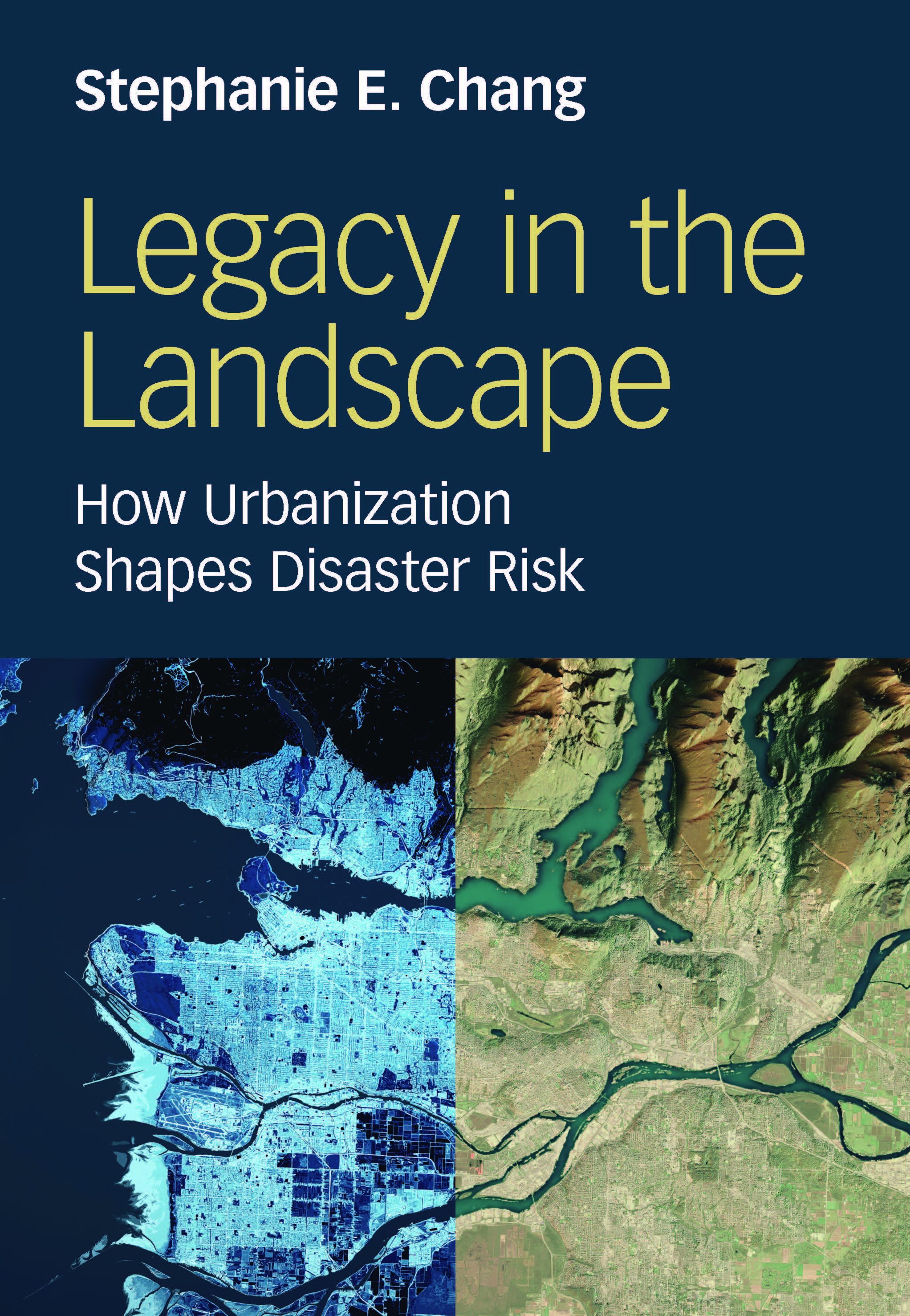
Author: Stephanie Chang
Professor
Institute for Resources, Environment, and Sustainability, School of Community and Regional Planning
1. What inspired you to write Legacy in the Landscape, and what central message do you hope readers take away from it?
I was mainly motivated by the sense that in the hazards and disasters field, we’ve been missing something pretty fundamental when it comes to understanding disaster risk in cities: How does risk change over time? We talk about climate change and how that will impact risk, but what about urban development processes – how does urbanization itself influence risk? We don’t have a systematic way of thinking about that. I’ve been teaching a course on “Planning for Disaster-Resilient Communities” for many years, mainly to urban planning students, so I really felt this was an important question that we didn’t have good answers for in the literature.
Towards the end of the book, I concluded that disasters are “a collateral outcome of how cities grow.” Urban history really matters for disaster risk today, and urban development today really matters for disaster risk in the future. That’s the message that I hope will stick with readers of the book.
2. This book draws on work conducted over decades. Can you talk about the process of collecting and distilling that knowledge to produce Legacy in the Landscape?
 When I started working on the book during my last sabbatical, I knew I was aiming to provide a “big picture” view of how disaster risk in cities changes over time. I knew I wanted to write about cities in general, not about any one city in particular, but that those generalized insights had to emerge from patterns across different types of cities and different hazards.
Pretty early on, I decided I would center the book around the stories – I thought of them as the “biographies” – of six cities. That would provide the evidence base that I could analyze for patterns and insights about the relationship between urbanization and disaster risk. So collecting the information was relatively straightforward because the empirical content of the book is based entirely on previously published research, including a little of my own but mostly the work of other scholars.
Distilling that knowledge, though, was the challenge. So that’s where the conceptual framework comes in. I needed some systematic way of examining the evidence that would be flexible enough to accommodate whatever the case studies revealed, yet structured enough to yield meaningful insights. I developed a simple Urban Risk Dynamics framework – really just a diagram and four questions – that I then applied to each case study to make sense of all the information I’d gathered.
3. Legacy in the Landscape presents detailed case studies from six cities in Canada, the US, New Zealand, Austria, and Japan. How did you decide which case studies to include in the book?
One essential criterion was that there had to be a large enough body of existing literature on the city, because the “urban biographies” that I mentioned were going to be constructed based on prior scholarship. And of course, each city had to be at risk of one or more of the hazards that I would be focusing on in the book: riverine flooding, coastal flooding, or earthquakes.
Beyond that, as a set, the case studies had to represent enough urban diversity to be informative but not too much to be overwhelming. So for example, they’re mostly medium-sized cities, but there’s one large one (New York City). There are some old cities by global standards and some relatively new ones.
And three of the cities had experienced major disasters about 10 years previously (the 2013 flood in Calgary, Hurricane Sandy in New York in 2012, and the 2010-11 earthquakes in Christchurch). I thought 10 years would be enough time for recovery to have happened, as well as for research about recovery to have been published. The disaster recovery part was important because I wanted to look not just at the immediate losses caused by these disasters, but at what happened to urban development patterns in the years following.
4. How does the conceptual framework you propose – the Urban Risk Dynamics framework – give disaster researchers a new way to understand a city’s disaster risk over time?
The Urban Risk Dynamics framework does two things. First, it takes some foundational concepts in the field – hazard, exposure, vulnerability, risk – and sets them against the background of urban growth and change. So not only do hazard, exposure, and vulnerability together give rise to risk, but each of those dimensions is also an outcome of urbanization processes. And disaster events themselves influence urban development in the recovery period and after.
Second, the framework emphasizes three interrelated dimensions of urbanization that I think would help disaster researchers understand how cities develop. These are landscape, economy, and technology. By landscape, I mean the physical land, the terrain, the water, and the natural processes that comprise the environment in which cities grow. Then there are the economic drivers behind urban development, and technological changes ranging from drainage and automobiles to flood control methods and earthquake engineering. All of these interact and influence how risk evolves.
5. The book looks back in time (at the case study cities) to look forward (towards opportunities for future disaster risk reduction). How do you hope that planners and policymakers might use the Urban Risk Dynamics framework to reduce disaster risk in their city?
I hope that by giving planners and policymakers a better sense of how we got to where we are today, it will help them devise better approaches to shift where we’re headed in the future, in terms of disaster risk. I hope that by clarifying some of the ways in which ordinary, everyday urban development sets cities up for disasters, the book can help practitioners see new opportunities, head off the biggest dangers, and plan better for disaster recovery. Having said that, though, I do think the case studies also illustrate why it’s often so difficult to reduce risk when we’re only focusing on disaster risk reduction and ignoring the economic pressures of urban development. At the end of the day, disaster risk reduction can’t be relegated to the domain of emergency managers and disaster and risk specialists. It has to be integrated throughout urban planning and urban development.